China’s “spy ship” that wasn’t off the coast of Australia
Jennifer Parker, expert associate at the National Security College, Australian National University
2025-04-17
AUSTRALIA
DEFENCE AND SECURITY
This article first appeared on The Interpreter, published by the Lowy Institute
As Australia’s Prime Minister Anthony Albanese was about to call a national election on 28 March, a Chinese state-owned marine research vessel Tan Suo Yi Hao was quietly transiting Bass Strait. Quickly labelled a “spy ship” in local media reports and commentary, its presence transformed into a sudden political flashpoint, with speculation rife about China mapping submarine cables. Such conjecture proved unfounded, with episode instead raising broader questions about the growing paranoia in Australian commentary about China – and the line between awareness and alarm.
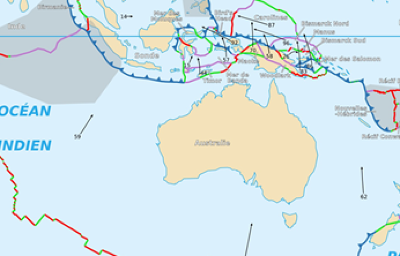
On 23 March, the Tan Suo Yi Hao had completed a three-month joint research mission with New Zealand. The research had focused on the Puysegur Trench as part of China’s Global Trench Program, involving eight countries studying hadal zones, the deep ocean areas between 6,000–11,000 metres. The vessel then transited south of Australia via the most direct route to the Diamantina Trench in the Indian Ocean, passing through Australia’s exclusive economic zone (EEZ) and the international passage of Bass Strait.
The vessel’s transit south of Australia understandably raised eyebrows. Only a few weeks earlier, China’s navy made a high-profile circumnavigation of the continent in a deliberate demonstration of China’s growing blue-water capability, also conducting live fire exercises. China’s “spy ships” have also monitored the Australia–US-led Talisman Sabre military exercise off the Queensland coast each year since 2017. More broadly, Chinese marine research vessels conduct surveys in the Indian Ocean and South China Sea, with concerns that the data collected may aid military operations.
While dual-purpose marine scientific research by foreign states in strategic locations will naturally raise concerns for coastal countries, under the United Nations Convention on the Law of the Sea, marine scientific research is broadly permitted to “increase scientific knowledge … for the benefit of all mankind.”
Yet the response to the Tan Suo Yi Hao veered into intense speculation, accusing the vessel of activities that were simply not feasible. The result was a wave of paranoia and claims made in the absence of substantive analysis.
After entering Bass Strait, the ship was said to be conducting signals intelligence – that is the interception of radio or radar signals known as SIGINT, mapping submarine cables, or even interfering with undersea infrastructure. Yet the facts don’t support these claims. The vessel maintained active use of its Automatic Identification System (AIS) throughout its passage and was easily tracked via services including Starboard Maritime Intelligence and Ship Atlas. It travelled west at a steady speed of 8 to 13 knots, slowing only when encountering rough weather west of the Great Australian Bight. The vessel’s speed and steady westward track were inconsistent with deploying its submersible, used for probing the ocean depths, or conducting the overlapping passes needed for seabed mapping.
The vessel also lacked visible SIGINT equipment, remained mostly hundreds of nautical miles offshore, and there is little of strategic value in the area. The accusation doesn’t hold up.
On 4 April, the Tan Suo Yi Hao turned northwest, having reached a point 216 nautical miles off the Western Australian coast, and proceeded towards the Diamantina Trench to begin exploration. This course change again triggered speculation that it was mapping submarine routes near Australia’s only submarine base. But its course and speed made such activity unlikely. The vessel eventually slowed to 1 knot – effectively stopping – likely to deploy its submersible more than 700 nautical miles west of Perth, well beyond Australia’s EEZ. The ship has explored two main positions near the trench, prompting further accusations that it was mapping routes for the deployment of nuclear-armed ballistic missile submarines (SSBNs) or deploying acoustic sensors to monitor Australian submarine movements.
While countries have deployed seabed sensors – such as the US SOSUS system during the Cold War – these were placed on continental slopes and seamounts aligned with the deep sound channel, not extreme depths like the Diamantina Trench, which is more likely to trap sound than support long-range detection.
Although technology has advanced, there is little evidence to suggest the Diamantina Trench holds acoustic relevance for deploying seabed sensors. As for the claim that China might position nuclear-armed submarines in the area, the logic doesn’t hold. Transiting such submarines through the closely monitored Indonesian archipelago would carry significant risk, and the location offers no operational advantage. The JL-3 intercontinental ballistic missile, reportedly with a range exceeding 5,400 nautical miles, already allows Chinese SSBNs to target the US mainland from existing patrol areas in the East China Sea or South China Sea. Parking an SSBN 900 nautical miles off the Australian coast would provide no meaningful benefit.
Scenarios that, with even basic analysis, are clearly implausible do little but fuel paranoia, especially during an election campaign. There’s no doubt Australia is increasingly a focus for China. But a measured assessment of the risks posed by China’s actions will ensure calm, deliberate responses, so the country is ready for real crises when they come.
Membership
NZIIA membership is open to anyone interested in understanding the importance of global affairs to the political and economic well-being of New Zealand.